
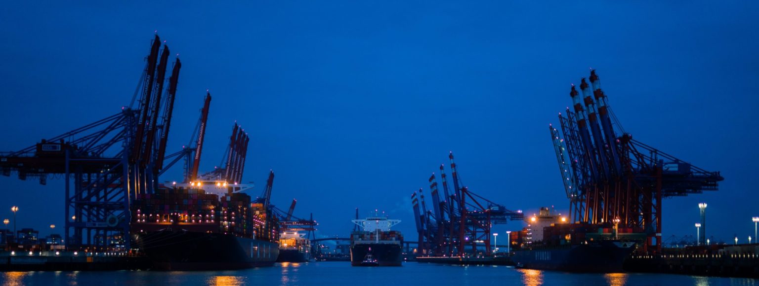
Ports & Harbors
AXYS offers custom, self-contained and fully automated weather and water level systems that can be deployed in key locations to facilitate vessel traffic management operations.

Offshore Renewable Energy & Wind Resource Assessment
AXYS uses LiDAR to measure wind at turbine hub-height to provide accurate and reliable data on wind speed, wind direction, and turbulence to ensure the overall success of our client's site.

MetOcean Observation Networks
AXYS MetOcean observation networks has been chosen by various worldwide government meteorological institutions, defense agencies, as well as research and academic entities to provide critical observational around the world.

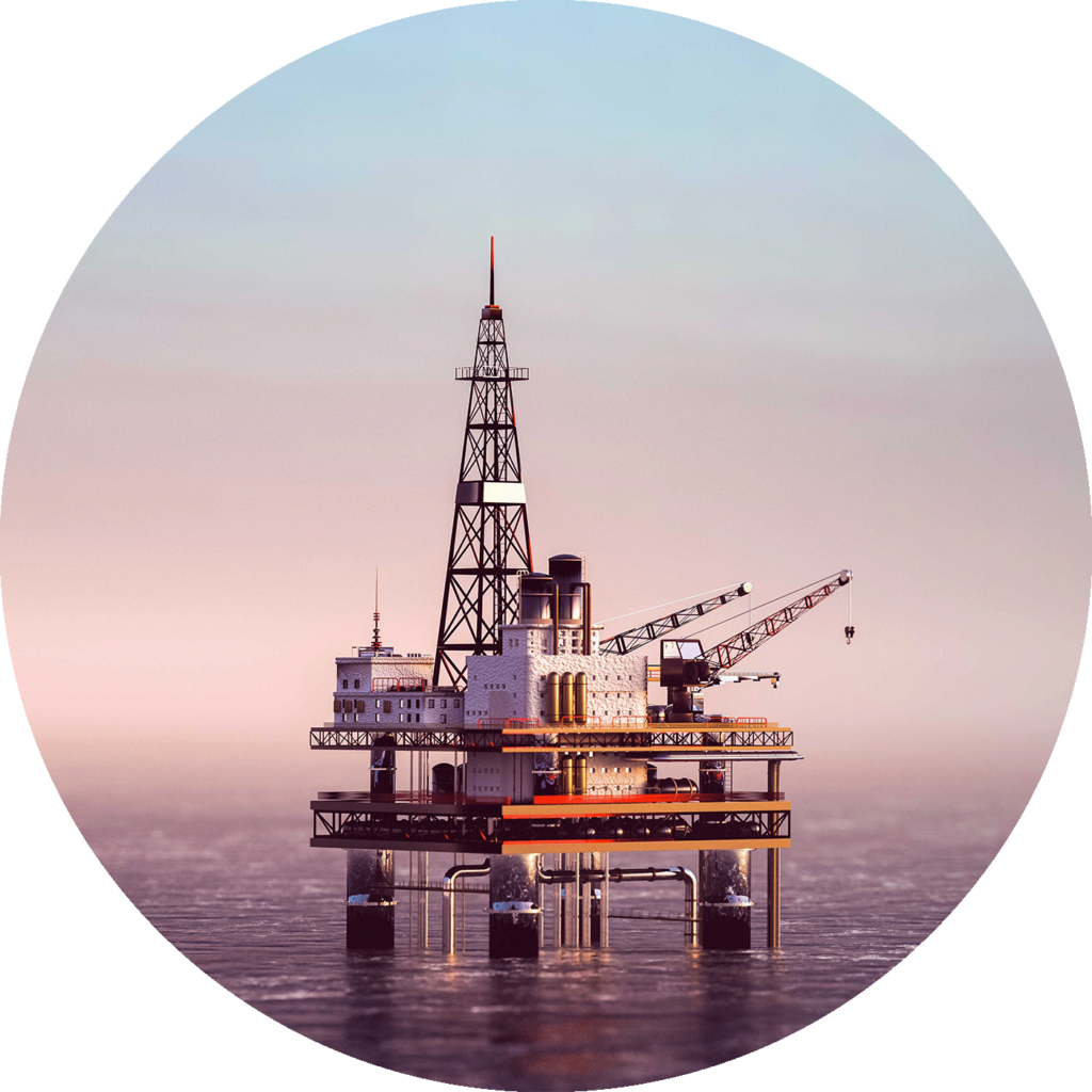
Oil & Gas Environmental Monitoring
AXYS MetOcean buoys and systems provide oil and gas companies with real-time environmental information, which allows them to make more accurate and timely decisions affecting platform operations.
WatchKeeper
Designed for coastal areas, lakes, reservoirs & rivers.
3 Metre
Capable & rugged buoy that can be configured with a range of sensors.
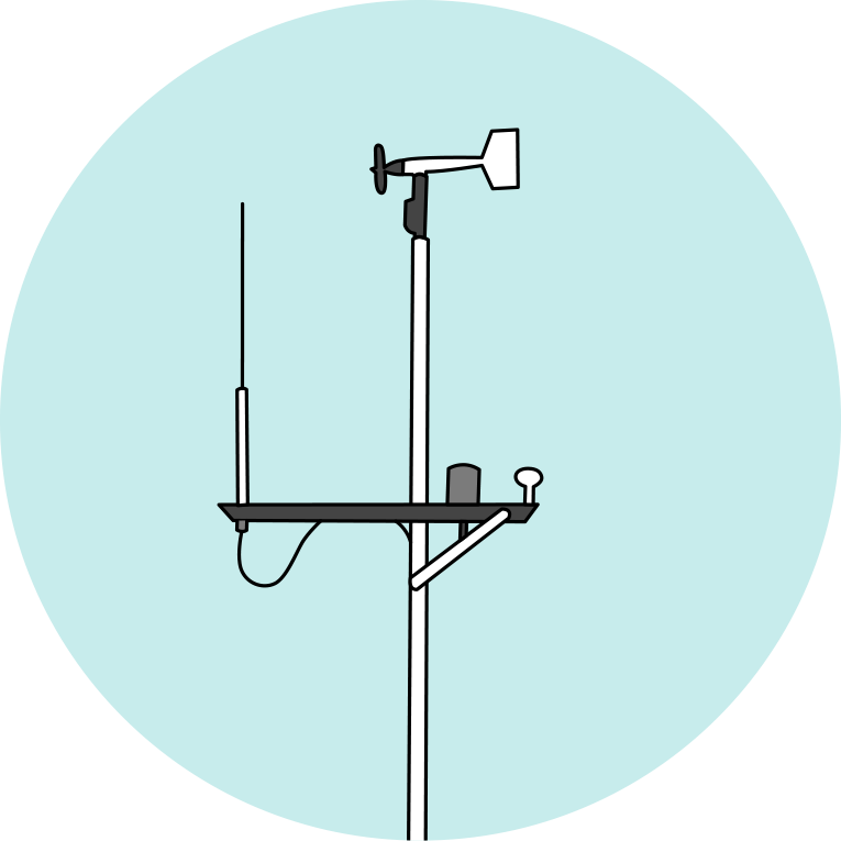
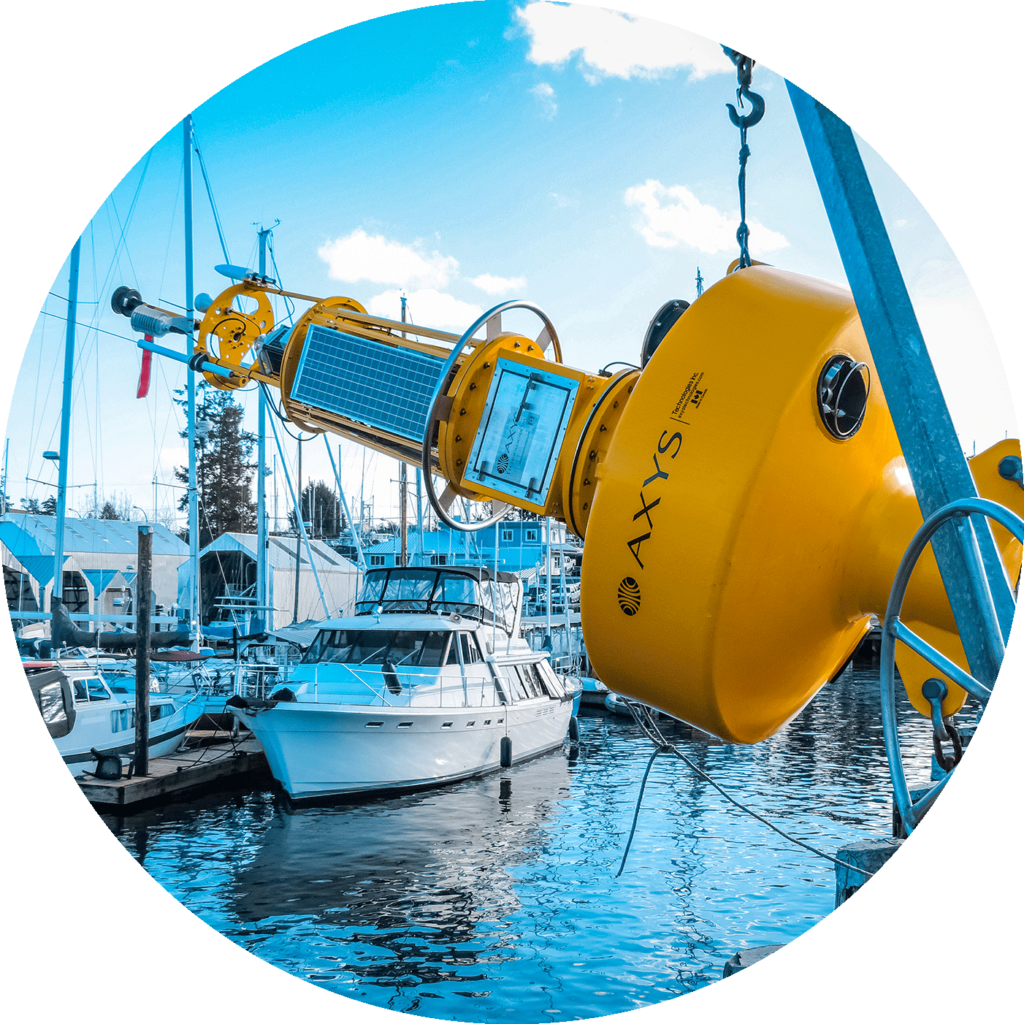
Port Sentinel
Self contained & fully automated environmental monitoring station.
AVOS
Automated weather station that transmits VOS program reports.
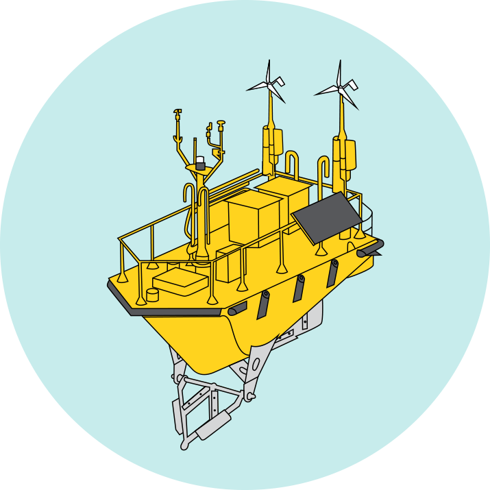
FLiDAR WindSentinel™
World leading wind assessment buoy using LiDAR to accurately measure data.
3 Metre
Capable & rugged buoy that can be configured with a range of sensors.
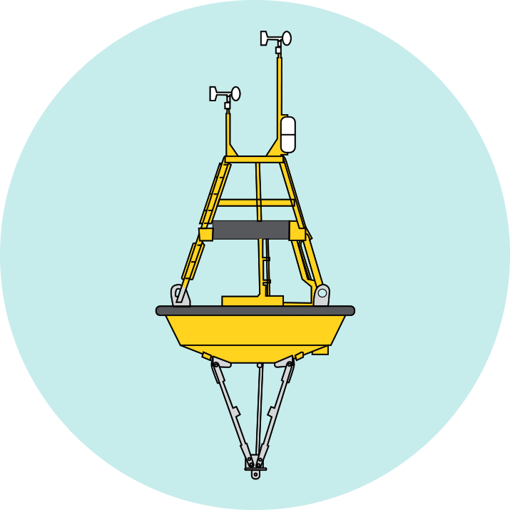
TRIAXYS
Easy to use, reliable & rugged buoy for accurate measurement of wave data.
WatchKeeper
Designed for coastal areas, lakes, reservoirs & rivers.
3 Metre
Capable & rugged buoy that can be configured with a range of sensors.
Port Sentinel
Self contained & fully automated environmental monitoring station.

3 Metre
Capable & rugged buoy that can be configured with a range of sensors.
WatchKeeper
Designed for coastal areas, lakes, reservoirs & rivers.
TRIAXYS
Easy to use, reliable & rugged buoy for accurate measurement of wave data.
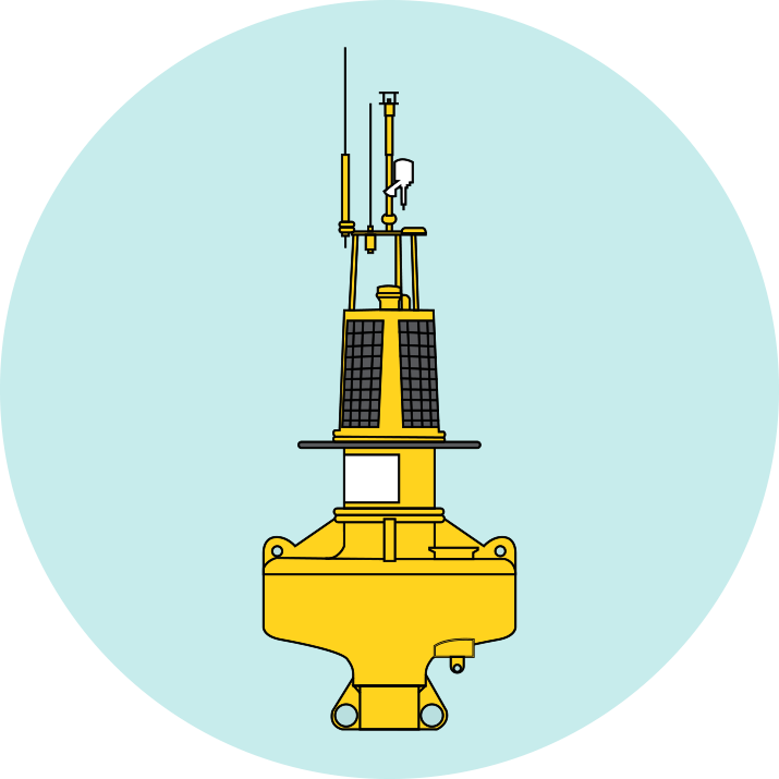
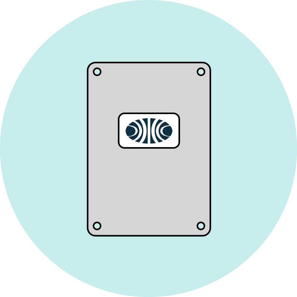
HydroLevel
A highly accurate tide/water-level measuring system.
Port Sentinel
Self contained & fully automated environmental monitoring station.
AVOS
Automated weather station that transmits VOS program reports.
