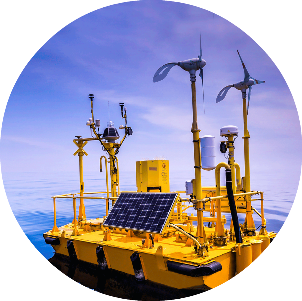
The WindSentinel™ is a world leading wind resource assessment buoy that uses LiDAR to accurately measure wind speed and wind direction at turbine hub-height and across the blade span.
The WindSentinel utilizes industry standard LiDARs from ZephIR and WINDCUBE supported by redundant energy sources, data collection systems and telemetries designed to reduce data dropouts in harsh environments.
The standard system contains full meteorological & ocean data, including waves and currents. The WindSentinel is the only system that utilizes a generator system and forty lead acid batteries to ensure operation in the event of failure of renewable power supplies, making it the most trusted system in the market.
The WindSentinel™ is the faster and more accurate way to gather offshore wind data across multiple locations, for less money. Deploy a WindSentinel™ to perform resource assessments without the high costs and bureaucratic hurdles associated with fixed met tower construction.