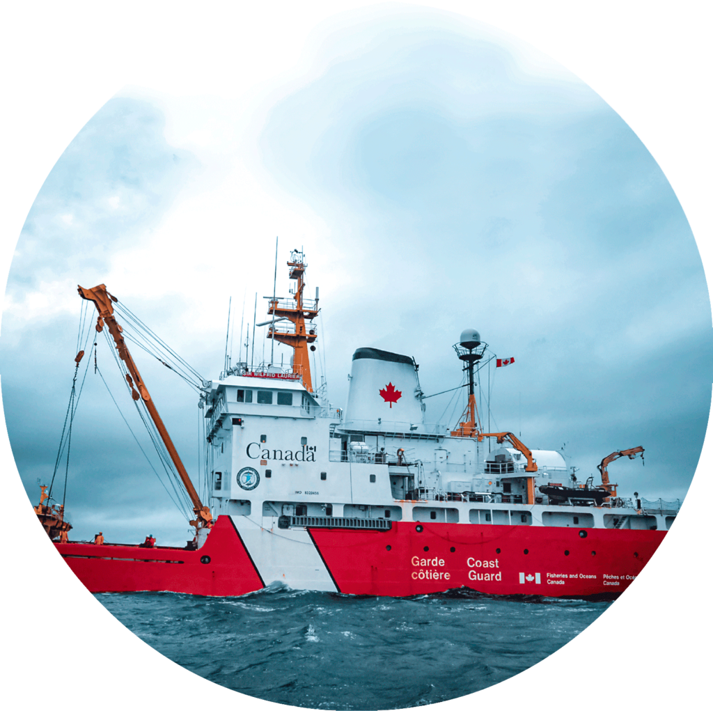
- All
- MetOcean
- Waves/Currents & Water Levels
- Wind Resource Assessment
- Custom Solutions
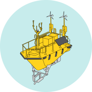
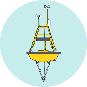
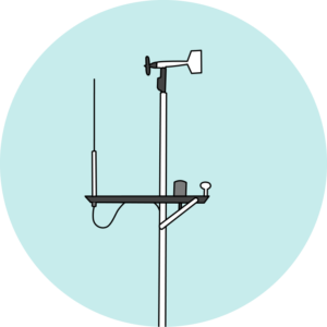
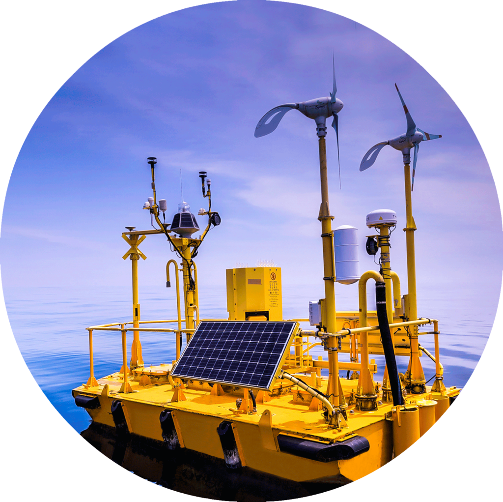
FLiDAR WindSentinel™
World leading wind assessment buoy using LiDAR to accurately measure data.
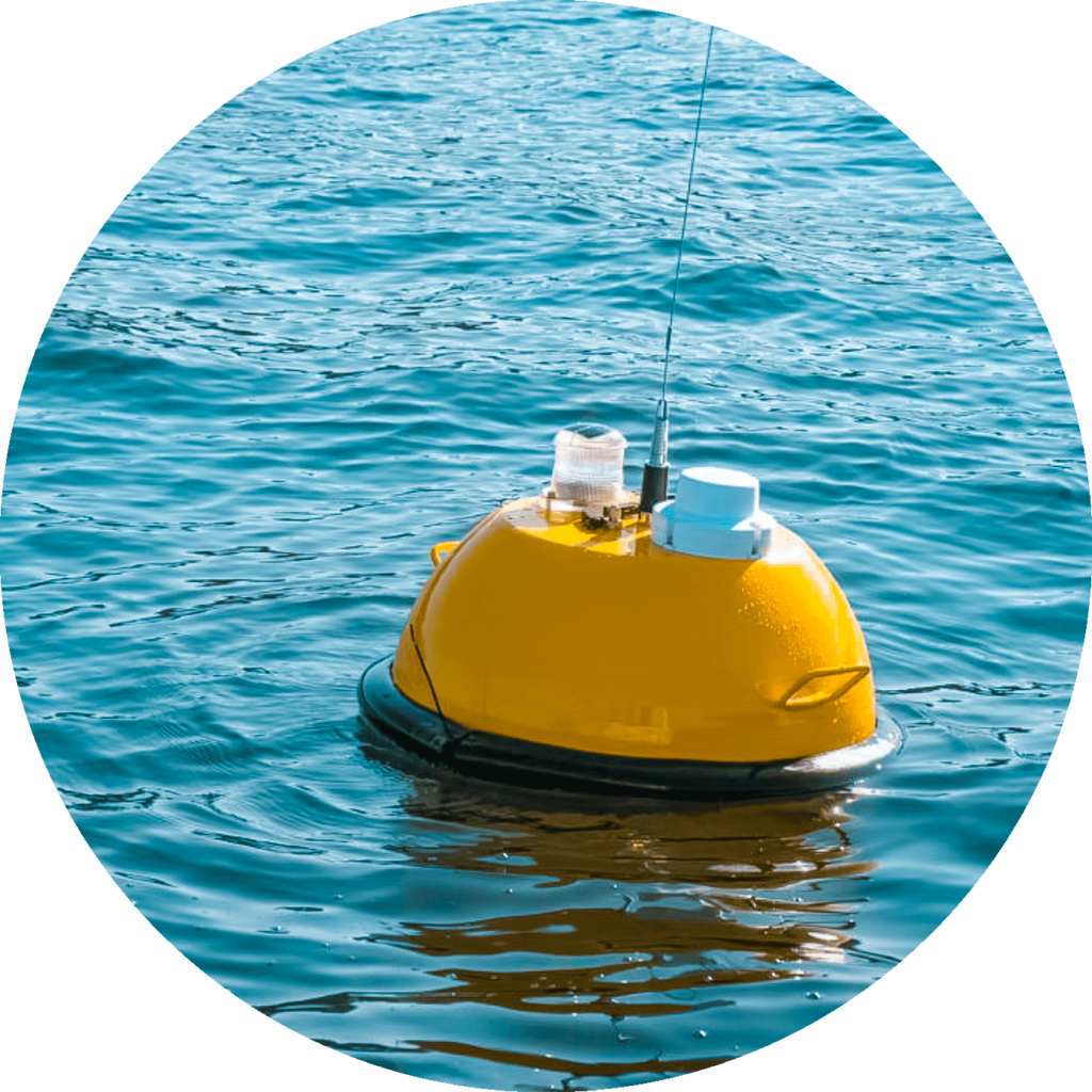
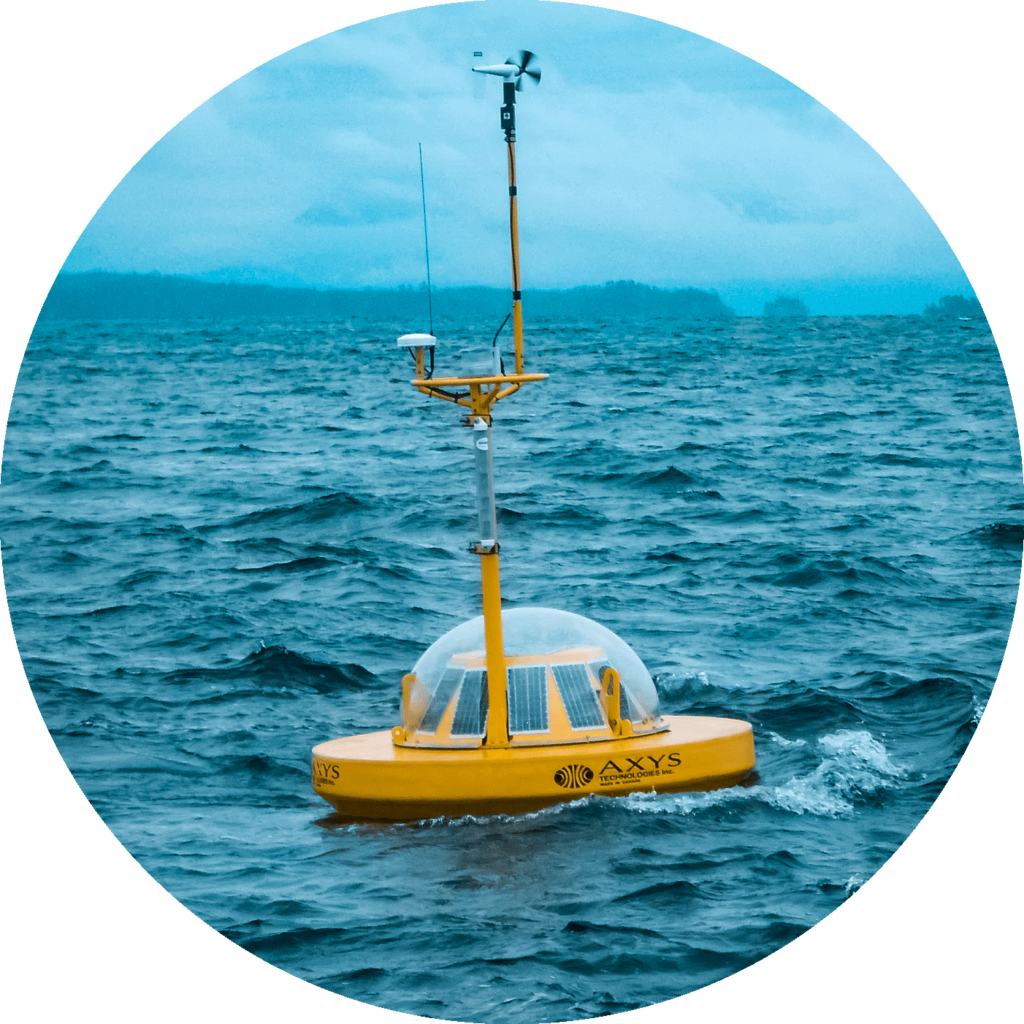
WatchKeeper™ 1.7M
A proven, versatile, & reliable buoy designed for coastal areas, lakes, reservoirs & rivers.
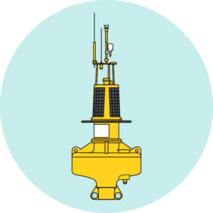
WatchKeeper™ 2.6M
The added buoyancy of the hull provides increased survivability for rougher & deeper waters.
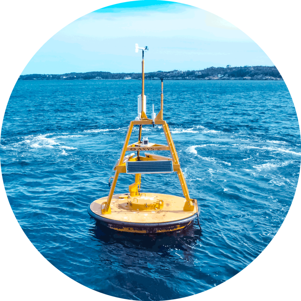
TRIAXYS™
Easy to use, reliable & rugged buoy for accurate measurement of wave data.
TRIAXYS™ Mini
A portable buoy designed for short-term wave measurement.
3 Metre™
Capable & rugged buoy that can be configured with a range of sensors.
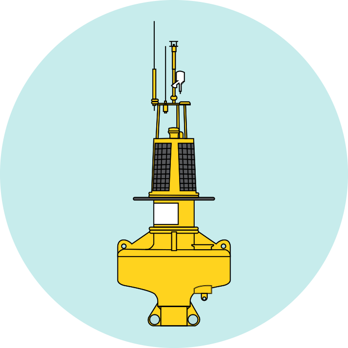
HydroLevel™
A highly accurate tide/water-level measuring system.
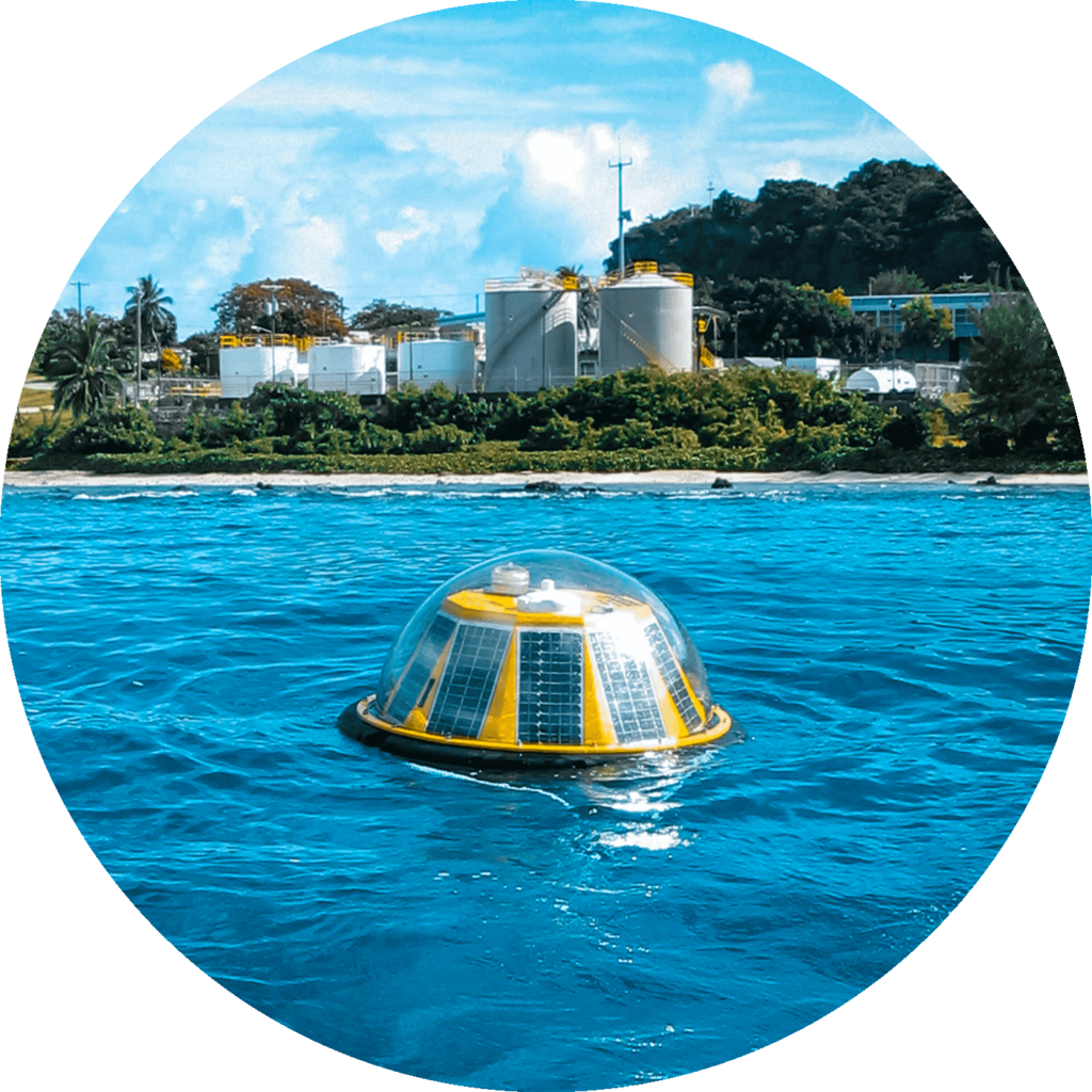
Port Sentinel™
Self contained & fully automated environmental monitoring station.
AVOS™
Automated weather station that transmits VOS program reports.
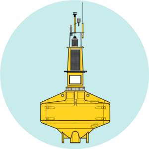
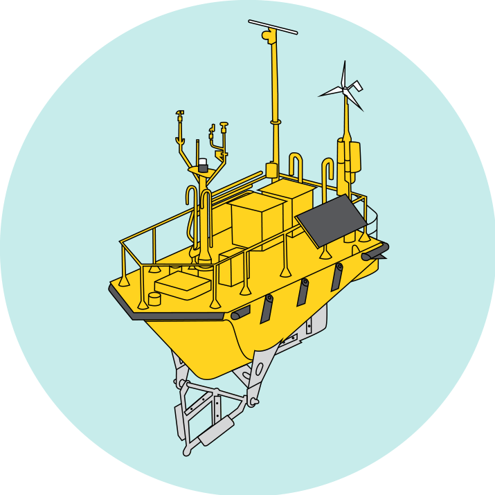
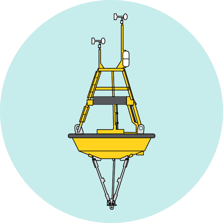
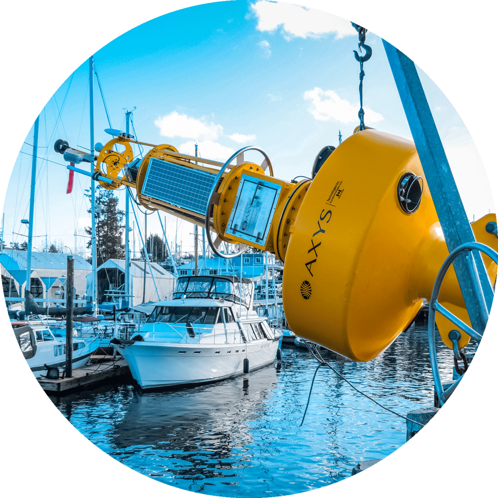
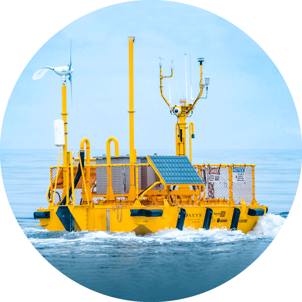
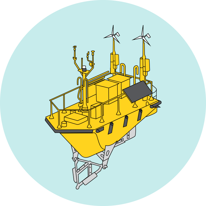
Ocean Sentinel NOMAD™
Environmental buoy designed for deployments in extreme conditions.
3 Metre™
Capable & rugged buoy that can be configured with a range of sensors.
WatchKeeper™
1.7m or 2.6m buoy designed for coastal areas, lakes, reservoirs & rivers.
Ocean Sentinel NOMAD™
Environmental buoy designed for deployments in extreme conditions
Deployed up to 3,500 metres

Renewable energy source for continued multi-year operation

Able to Integrate with any sensor & telemetry

Life expectancy of 20+ years
Proven TRIAXYS G3 Wave Sensor
Renewable energy source for continued multi-year operation
Able to Integrate with any sensor & telemetry
Real time full wave outputs
Withstands extreme marine weather
Renewable energy source for continued multi-year operation
Able to Integrate with any sensor & telemetry
Real-time meteorological, oceanographic & water quality data
TRIAXYS™
Easy to use, reliable & rugged buoy for accurate measurement of wave data.
TRIAXYS Mini™
A portable buoy designed for short-term wave measurement .
HydroLevel™
A highly accurate tide/water-level measuring system.
Real time full wave outputs
Power for extended deployments
No annual calibration required
AIS capable
Continuous wave sampling
5 year rechargeable battery life
Able to Integrate with any telemetry
5 years of data storage capacity
Highly accurate with near real time measurements
Solar powered option available
Remote configuration capabilities
Convenient options for short & long term deployments
FLiDAR WindSentinel™
World leading wind assessment buoy using LiDAR to accurately measure data.
3 Metre™
Capable & rugged buoy that can be configured with a range of sensors.
TRIAXYS™
Easy to use, reliable & rugged buoy for accurate measurement of wave data.
Uncertainty rates below 4%
+95% Annual data availability
825+ Commercial campaign months
Certified to Carbon Trust Standards
Deployed up to 3,500 metres
Renewable energy source for continued multi-year operation
Able to Integrate with any sensor & telemetry
Life expectancy of 20+ years
Real time full wave outputs
Power for extended deployments
No annual calibration required
AIS capable
Port Sentinel™
Self contained & fully automated environmental monitoring station.
AVOS™
Automated weather station that transmits VOS program reports.
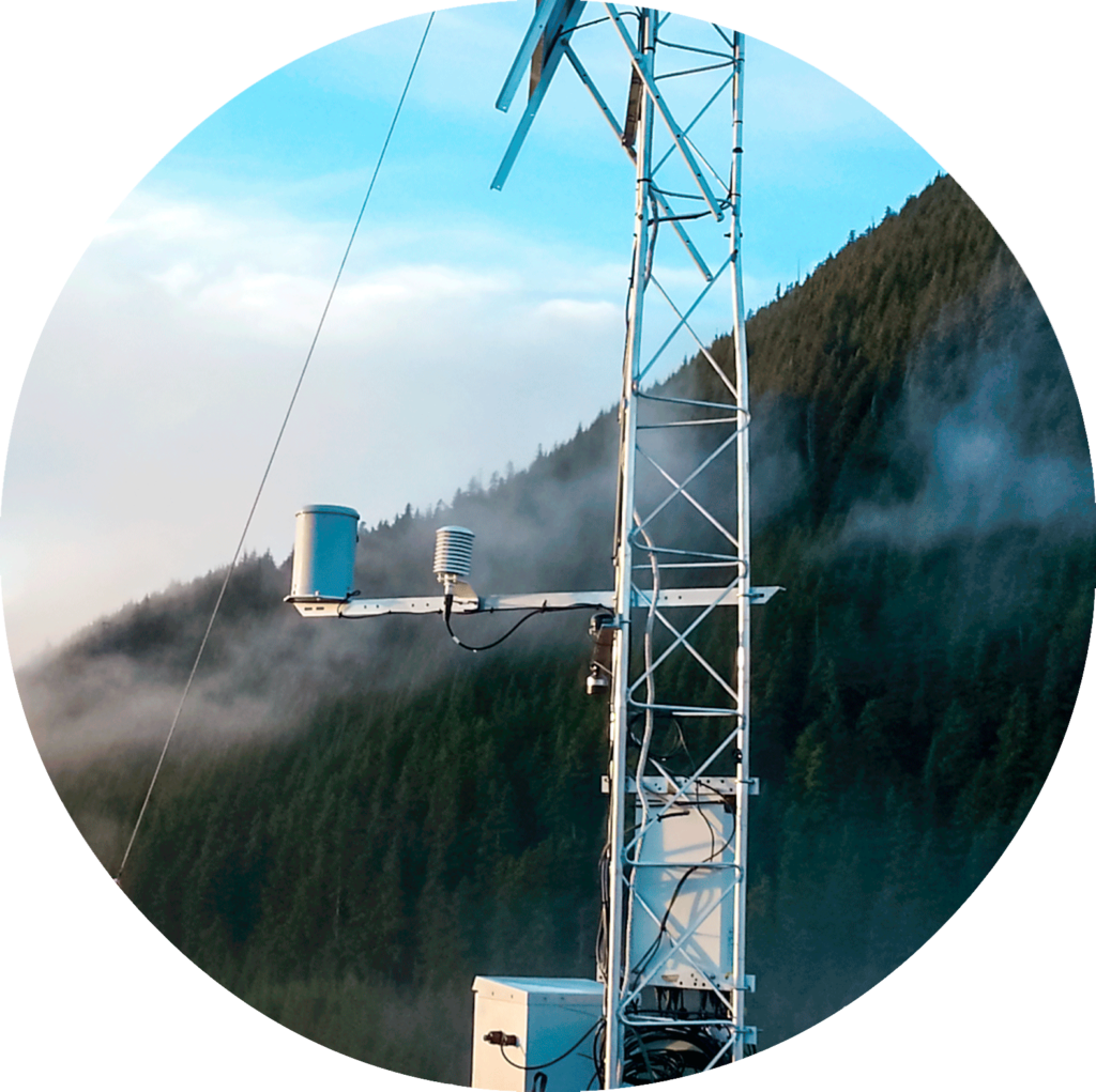
Real-time environmental data
Solar powered
Choice of telemetry & sensor options
Able to transmit data over AIS transponders
Real-time data display
Automatic quality control and corrections of elevation & magnetic variations
Transmits in universal FM 13 code
WatchMan micro controller technology