HQ
-
2035 Mills Rd. Sidney
BC V8L 5X2, Canada - +1 (250) 655-5850
- customersupport@axys.com
NV
-
Slijkensesteenweg 2
Oostende 8400, Belgium - +32 470 102220
- customersupport@axys.com
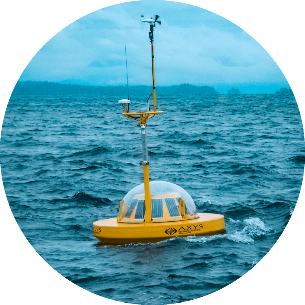
The HydroLevel™ buoy accurately monitors tide/water level elevation in any body of water. It is a precision instrument incorporating the latest DGPS and motion sensing technologies, making it the leading solution and an accurate, easy to use, rugged product. Data is available in real time if RTK or Satellite correction service is used. Otherwise elevations can be calculated in post processing from logged data.
Highly accurate with near real time tide & water level measurements
Solar powered option available

Remote configuration capabilities

Convenient options for short & long term deployments
DGPS measurements provide solid earth tide corrections and the HydroLevel™ buoy GPS receiver incorporates these real-time correctors at the position and time measured by the GPS receiver.
The HydroLevel™ GPS Processor was developed from the successful low-power WatchMan500™ payload processor, specifically designed by AXYS for the marine environment. The processor integrates sensor systems and provides onboard data processing, data logging, telemetry and diagnostic/set-up routines.
Data transmitted from the buoy includes buoy configuration, status data, position, and WatchCircle™ Alarm messages. Data is also stored on the buoy’s internal data logger. AXYS Data Management Software (DMS), can be installed on a PC to automatically receive, decode and display data transmitted from the buoy. Decoded data is auto-archived in both file and database formats for further use.
Set up and communication with the HydroLevel™ buoy takes place either through a waterproof connector on the buoy hull, a Bluetooth wireless connection built into the buoy, or remotely. All of the buoy set-up parameters can be adjusted and monitored using the wireless interface, enabling easy field configuration and testing.
*Third party correction service is required for RINEX file post processing

We’d love to hear what your needs are, and how our environmental monitoring systems and solutions, may contribute to your success.
Please take the time to fill out our form below and we will contact you promptly.